Map Layers
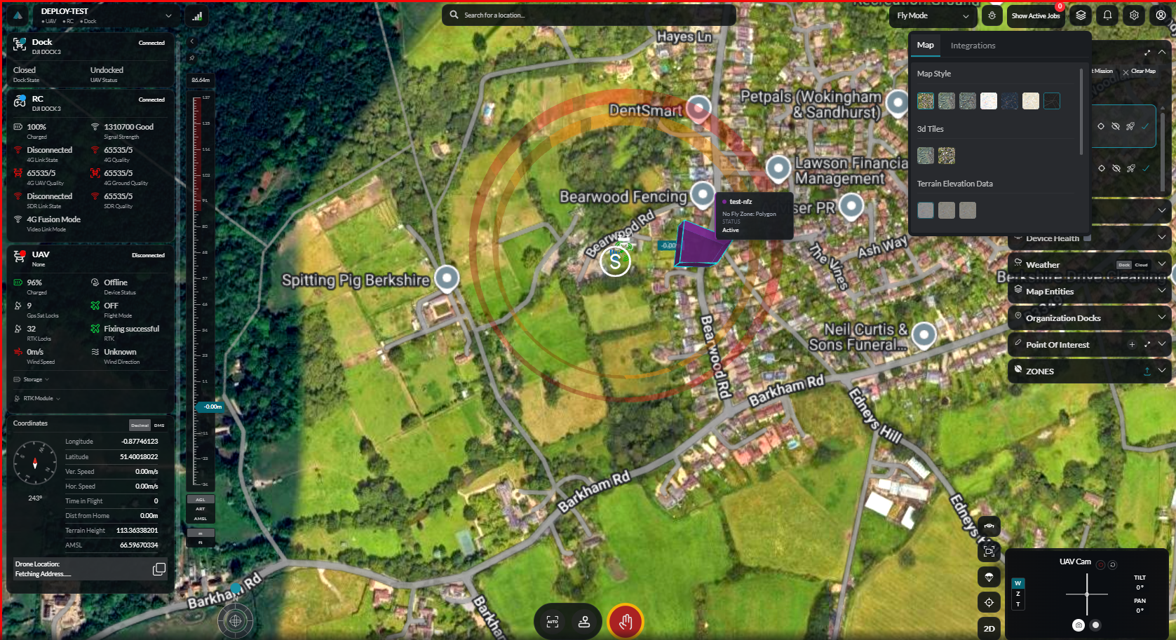
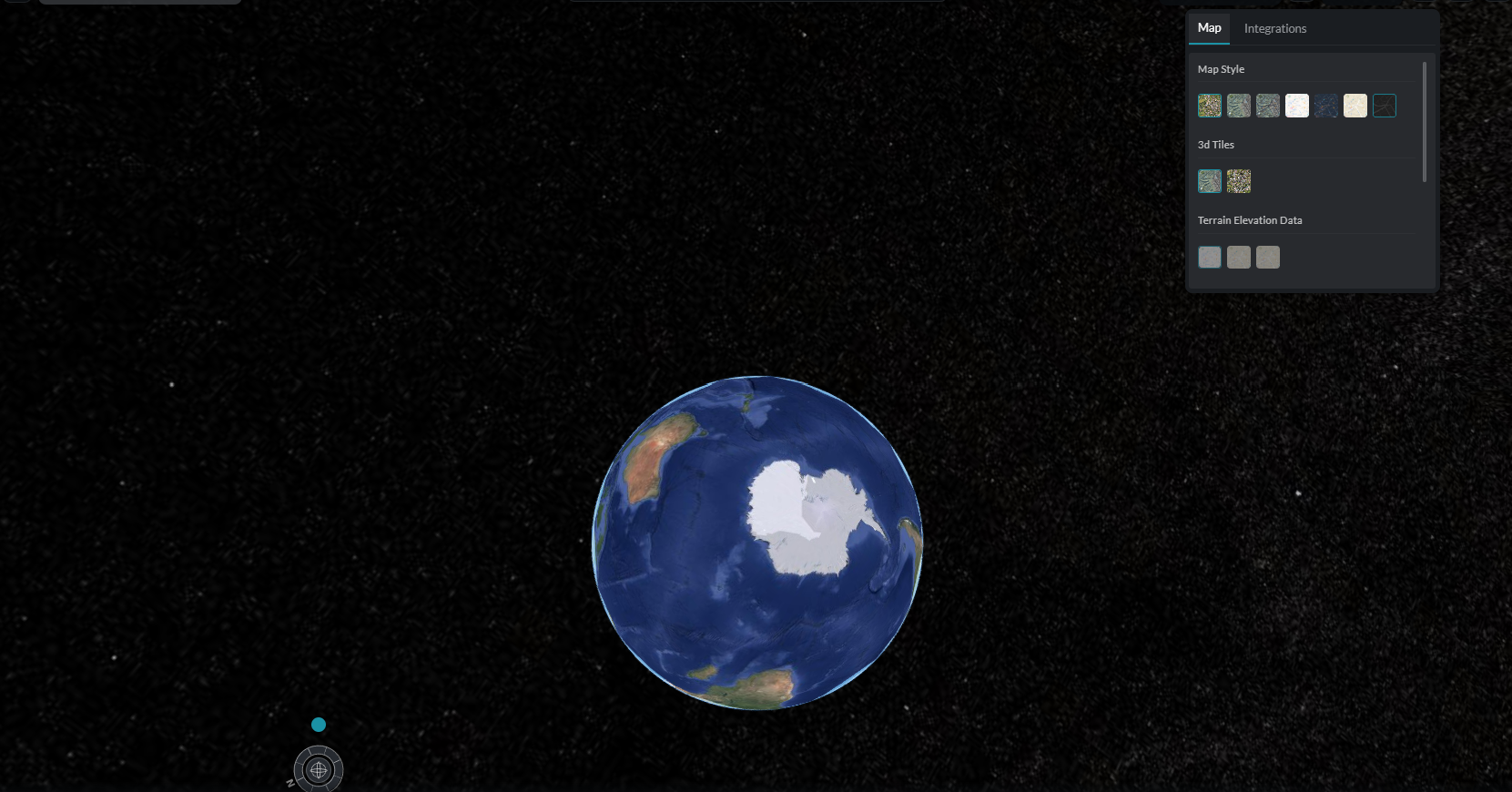
The Map Layers panel controls the visual style of the base map, the dimensional mode (2D or 3D), terrain rendering, and any asset overlays currently loaded.
Map Style Switcher
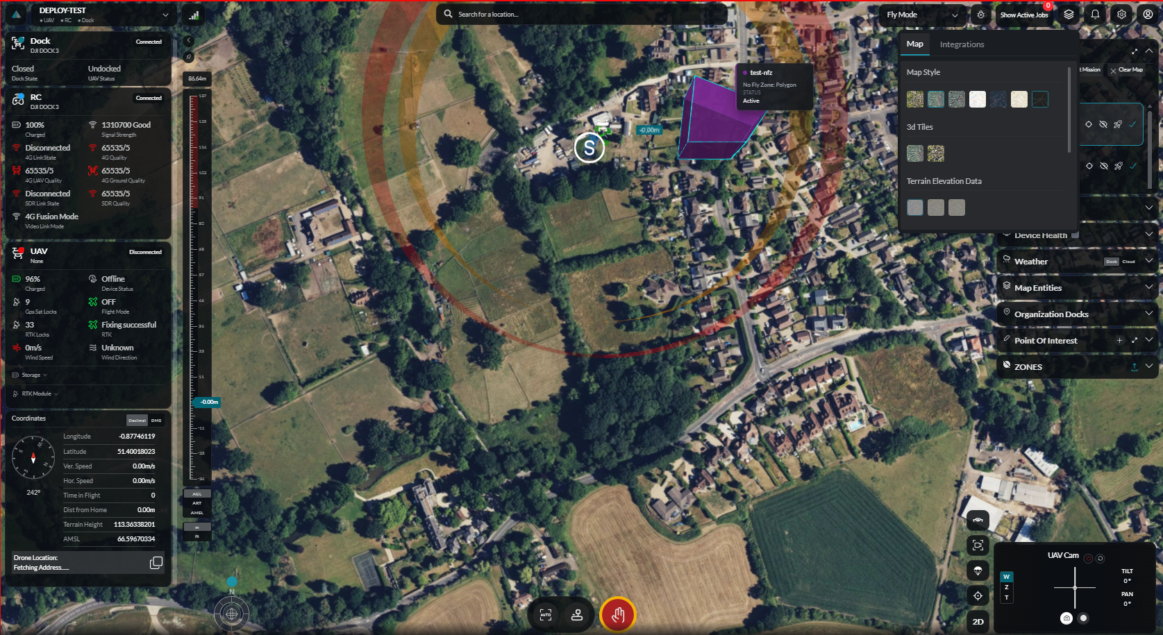
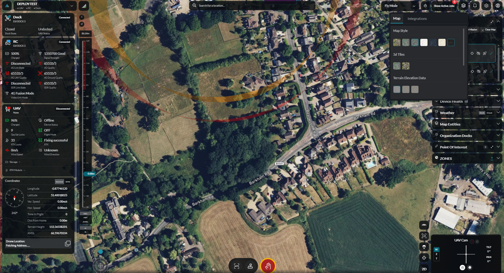
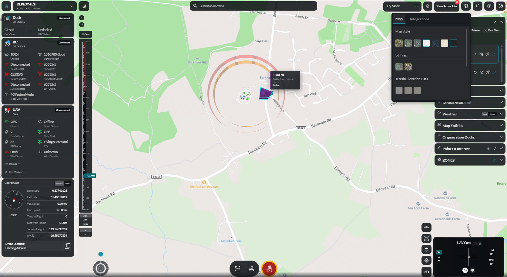
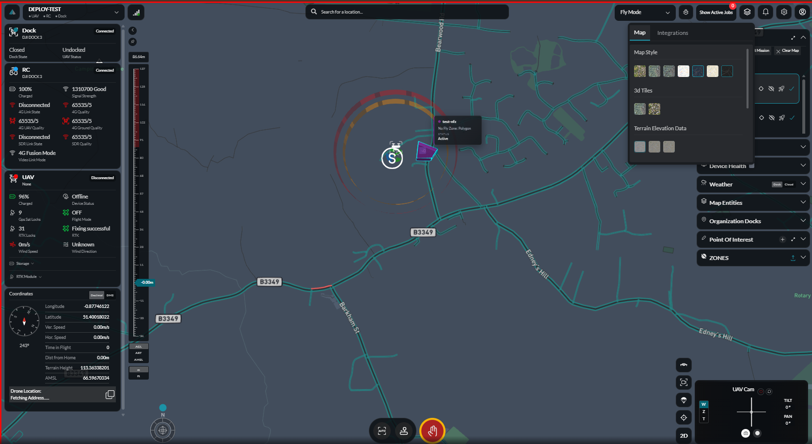
Choose from several base map styles to suit operational requirements:
| Style | Use Case |
|---|---|
| Satellite | High-resolution aerial imagery for site identification |
| Terrain | Topographic shading for elevation awareness |
| Hybrid | Satellite imagery with road and place labels |
| Street | Road-centric vector map for urban navigation |
2D / 3D Toggle
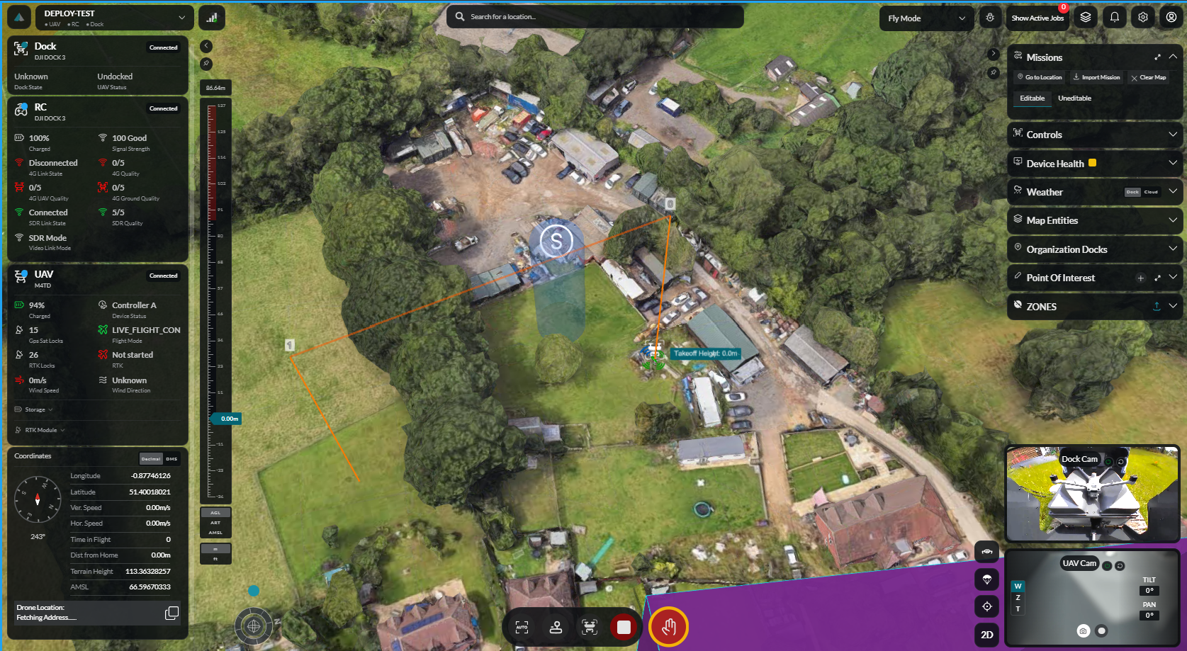
Switch between a flat overhead map (2D) and a perspective 3D view that renders terrain elevation. 3D mode is recommended when operating in hilly or mountainous terrain.
Terrain Rendering
When terrain is enabled in 3D mode, the Cesium engine renders elevation data so the flight path and drone icon follow the actual ground surface. This affects waypoint altitude display and obstacle visualisation.
Asset Overlays
Reference layers such as uploaded orthomosaics, KML/KMZ files, or site plans can be toggled as overlays on the base map. Each overlay has an independent opacity control.